REMOTE SENSING

REMOTE SENSING

Scope of application

  • Railway lines and railroad infrastructure
  • Highways, roads and transport infrastructure
  • Power lines and power generation
  • Mining and resources
  • Management
  • GIS and digital mapping
  • IT, multimedia, 3d visualization and modeling
  • Architecture and landscape design
  • Archaeology and cultural resources assessment
  • Oil and Gas industry
  • Civil infrastructure and Municipal management
  • Agriculture and forestry

SATELLITE IMAGERY

AERIAL PHOTOGRAPHY

LIDAR SURVEYS

LIDAR SURVEYS

PRODUCTIVITY

Aerial (ALS)

Аerial laser scanning is useful for scanning of vast objects from 1000 hectares, as well as extended corridor objects.

Up to 400 sq. km/day

Terrestrial (TLS)

Terrestrial laser scanning is used for scanning of small objects with maximum accuracy (units of millimeters).

Up to 20 ha/day

Mobile (MLS)

Mobile laser scanning is usually required for extended corridor objects, like parts of motor and railways.

Up to 100 km/day

LIDAR SURVEYS

BENEFITS OF LIDAR

ACCURACY – The accuracy of the laser scanning is comparable to the accuracy of ground-based surveying and much higher than the accuracy of the classical aerial photography.

COST OF WORKS – Taking into account high productivity and accuracy of scan systems, cost of works performed with the use of scanning methods is comparable or lower than by traditional methods.

PROCESSING AUTOMATION – Fully digital data format maximizes processing automation,  almost excludes influence of subjective aspects on the result  and provides full compatibility with CAD and BIM software.

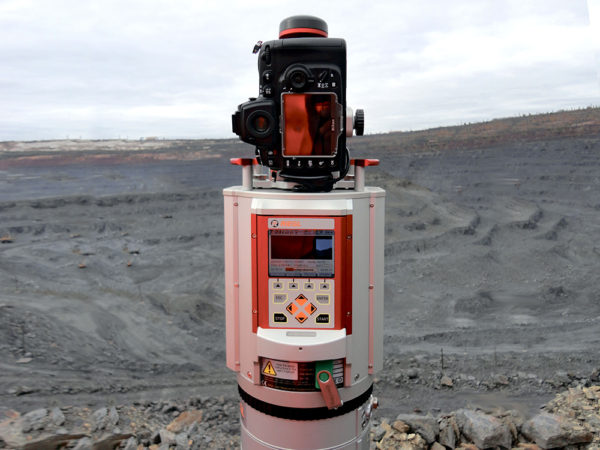
SAFETY – Due to application of reflectorless method of measurements laser scanning does not require human presence at the object of survey. It enables getting precise data even in hazardous or hardly accessible areas.

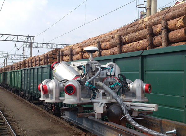
SPEED OF SURVEY – In corridor and wide area mapping combined time of field surveys and data processing is  much lower than traditional survey, and in challenging terrain conditions and remote areas Lidar will provide significant time and cost savings for the customer.

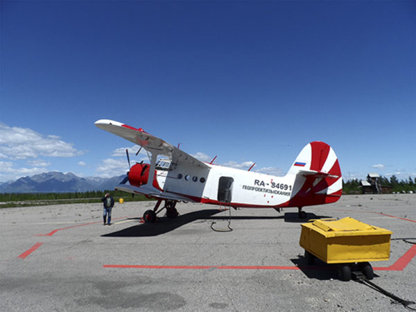
 FLEXIBILITY – Depending on the area of survey, specific terrain features, required data accuracy one scanning method can be selected to conduct to conduct a survey of any complexity.